I read this first article yesterday, and saw the second one today. As they are both interesting and pretty much 'linked', I thought I would post them both here. One is images the other a short video:
In pictures: Britain from the air
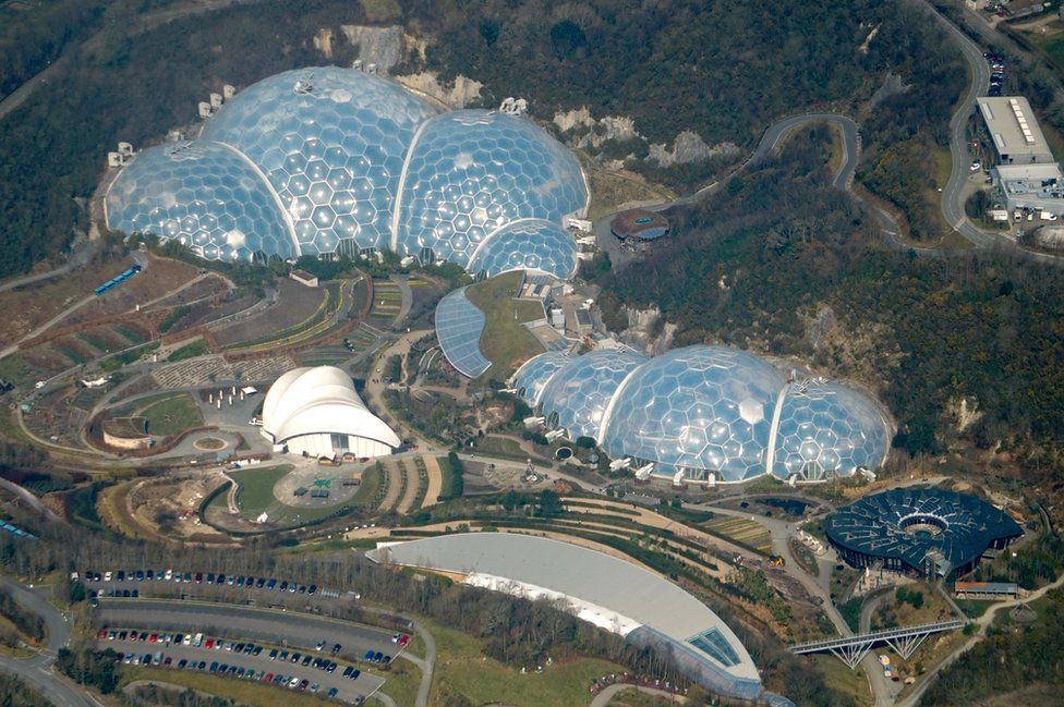
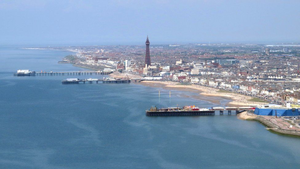
Images from Ordnance Survey (Click to enlarge)
How Britain's rural routes are mapped
The most recent Covid-19 statistics available for East Suffolk to April 17th 2024 are here - eastsuffolkcovid19.uk
(Last updated on: 25th April 2024 at 8:20pm)
-----◄►-----
- - - LINK TO GULL WING BRIDGE LIVE STREAM - - -
-----◄►-----
Click HERE to go to the latest uploads in the forum's gallery of bridge construction images
Britain from the Air.
- boatbuilder
- Site Administrator
- Posts: 57017
- Joined: Sat Aug 28, 2010 4:36 pm
- Male/Female: Male
- Location: Carlton Colville - Lowestoft
- Contact:
Britain from the Air.
See my Suffolk Pictures at https://suffolk-world.com
S t r e t c h e d - O y s t e r
You forget what you want to remember and remember what you would prefer to forget
S t r e t c h e d - O y s t e r
You forget what you want to remember and remember what you would prefer to forget